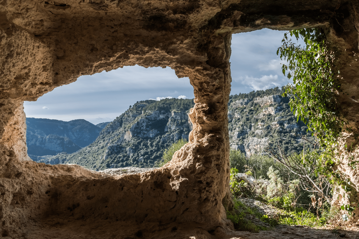
The Pantalica Nature Reserve was established in 1997 and has been a UNESCO World Heritage Site since 2005.
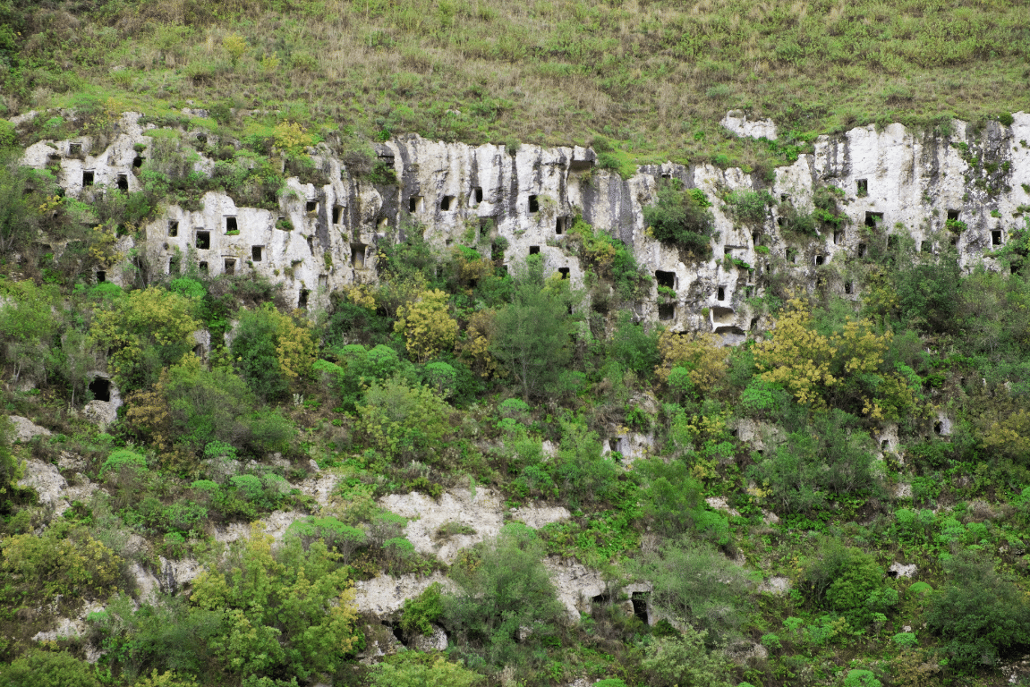
Since the thirteenth century, the place has been inhabited by the Sicilians, whose traces can still be found today: indeed, Pantalica is the largest rocky necropolis in Europe with about 5000 tombs.
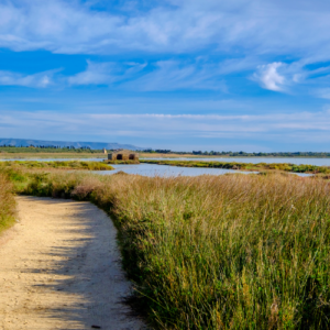
The reserve provides a great biodiversity: plane tree, poplar, willow, oleander, and again myrtle,rosemary,caper are just some of the many tree species included. As far as the fauna is concerned, you can find mammals, amphibians, reptiles, birds and the macrostigma trout is the living proof of waters quality.
There are many routes in the Pantalica Reserve. I suggest 3 different ones based on the difficulty.
Pantalica – Short itinerary
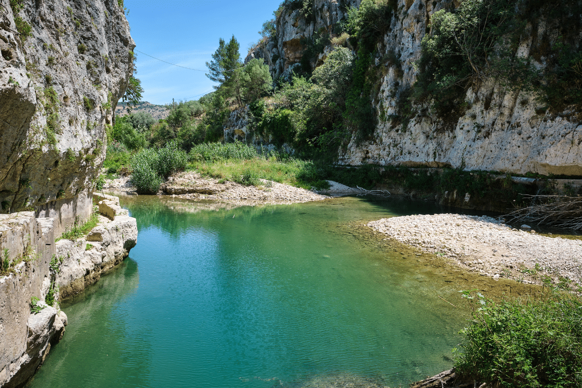
From the parking lot we will take a route that goes down into the canyon up the Anapo river.Here we will continue along the river for about 2 km, with a sight on the Necropolis on several occasions. You will be given the opportunity to stop near pretty lakes for the lunch break, take a regenerating bath and then get back on the road. On the way back, those who are interested can taste some typical sweets.
Pantalica – long itinerary
This is a ring route of about 13km that will grant you a full view on the Pantalica reserve. The path is characterized by descents, climbs, stone stairs, fords, the presence of Byzantine remains and the sight on the Necropolis. After stopping for lunch and a swim in the waters of the Anapo, we will get back on the road to the starting point.
Hydro-trekking on Calcinara
From the parking lotwe willtake a route that goes to the valley floor. Here, after a refreshing bath, we will get back on the road heading upriver the Calcinara, a tributary of the Anapo. For about a kilometre and a half we will continue walking and sometimes swimmingamong small lakes, waterfalls and ancient aqueducts. We will then take a route that goes backto the parking lot.